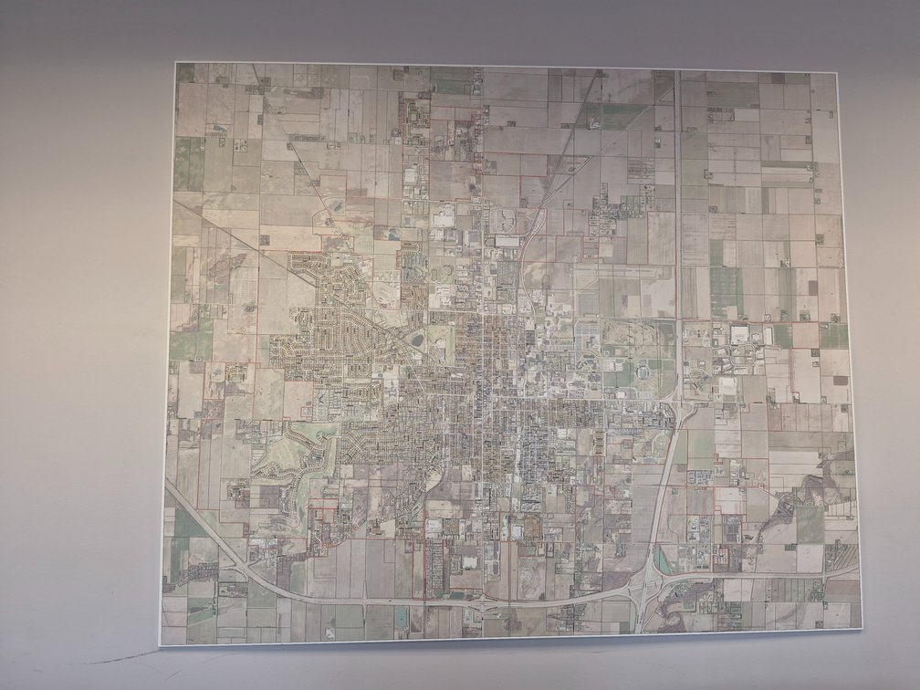
#134 • Bowling Green Aerial City Plot Map
Part of 4 Corners Center Office Liquidation (timed auction by Don Rose Auction & Realty)
High bid $9.00
Status: SOLD
72" w x 60" h Hard Plastic Material. Printed aerial parcel map of the Bowling Green State University area, featuring comprehensive property boundary overlays in red and detailed street grids. The cartographic layout includes prominent university and municipal landmarks, with identifiable text markers such as Stadium, Alumni, Wooster, Maple Hill Estates, and Fairview Village.